RAGBRAI Day 7 2017 – Ride Report
RAGRBAI stands for the Register’s Annual Great Bicycle Ride Across Iowa. It started in 1973 when two feature writers for the Des Moines Register decided to bike across Iowa, and invited readers to join them. The ride has grown ever since and is now in its forty-fifth year. The route always starts on the west side of Iowa, and ends on the Mississippi River on the east side of Iowa, and takes the last full week of July to do – but the course changes every year! You can register for the whole week, or for a single day, which is what I’ve done the last three years (2014 – Day 7, 2015 – Day 4 and 5, 2016 – Day 7, 2017 – Day 7).
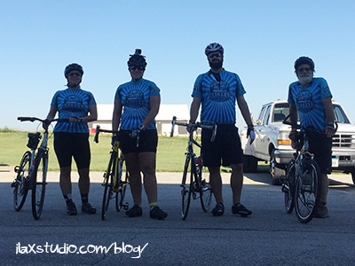
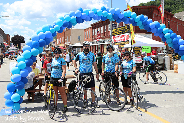
RAGBRAI Day 7 (July 29) has come and gone! Dad rode for the fourth year in a row, Gina (my bestie) joined for her second year, and Andrew (Steven’s brother) joined for his first!
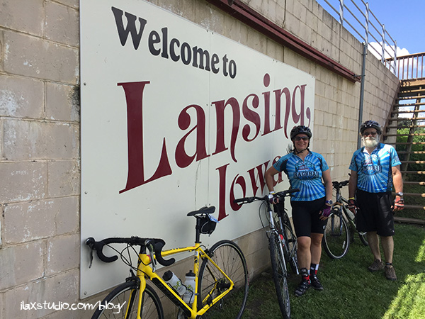
Gina, me, Andrew, and Dad
This year’s theme was “Take it Easy, Go North,” as the route stayed in the two northernmost counties of Iowa, and was only 411 miles long (total), and only had 13,078 of climb (total) – the third-easiest totals in RAGBRAI history.
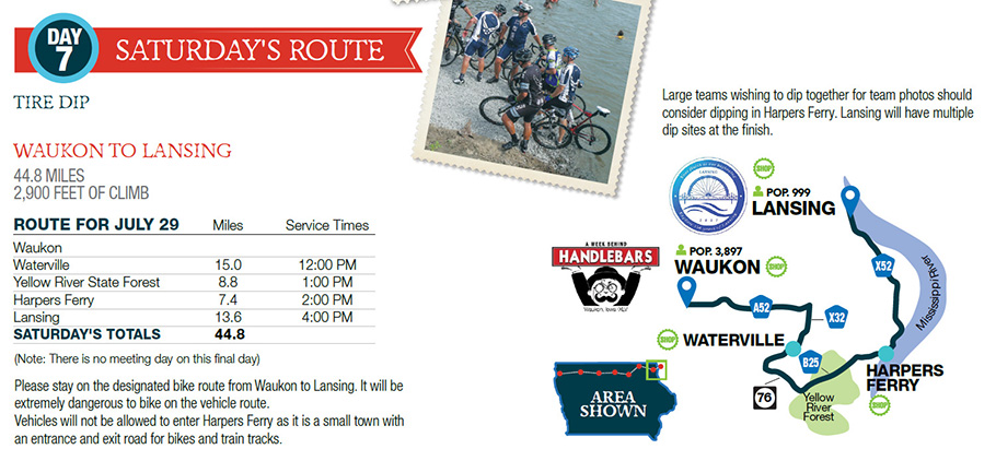
Day 7 went from Waukon to Lansing, was 44.8 miles long, and had 2,900 feet of climb – a short ride, but with four major hills to battle!
map from here
We all stayed in Guttenberg (45 miles from Waukon) the night before. We headed for Waukon around 7:00 am, and started cycling just after 8:00 am. I had “reserved” a spot for our car that was a few miles away from the start area, so we actually ended up cycling 47.6 miles total (in 3:48:16, averaging 12.5 mph)!
When I was looking at the elevation map before the event, I mostly paid attention to the four large hills. I didn’t think about the beginning of the map, which shows rolling hills the entire time. For some reason, I assumed it would be mostly flat until we got to the big hills! It was actually the opposite – gentle rolling hills in the beginning, then massive hills with flats between them.

The point of me mentioning that is that it’s hard to stay with a group on rolling hills because your speed is constantly changing as you climb and descent – some people go up faster, some go down faster. I had it in my head that we wouldn’t break away from each other until the major hills. But Dad took off right away! We didn’t catch him until right before the first pass-through town, Waterville. I tried to stick around Gina as much as I could (she goes up faster, I go down faster) and Andrew was always right behind us.
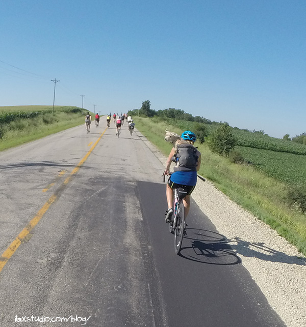
I have to share a picture of this lady riding with her dog, that we all saw before Waterville. She was yelling at her dog to sit down when Dad and Andrew rode by, and they both thought she was yelling at them at first. Ha!
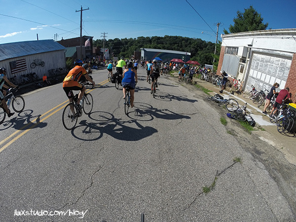
After fifteen or so miles, we were at Waterville, the first pass-through town. Getting in to town was a bit scary – the town was at the bottom of two large hills! You had to ride your brakes in, then immediately get off your bike.
Riding down in to Waterville
But we all made it! We re-grouped, re-sunscreened, ate (our own food, nothing bought) then got back on to ride the first major hill! (I also had my bike handle bar tip (while standing) and drag the skin on my inner thigh in this town and immediately leave a bruise… that I still have, sigh)
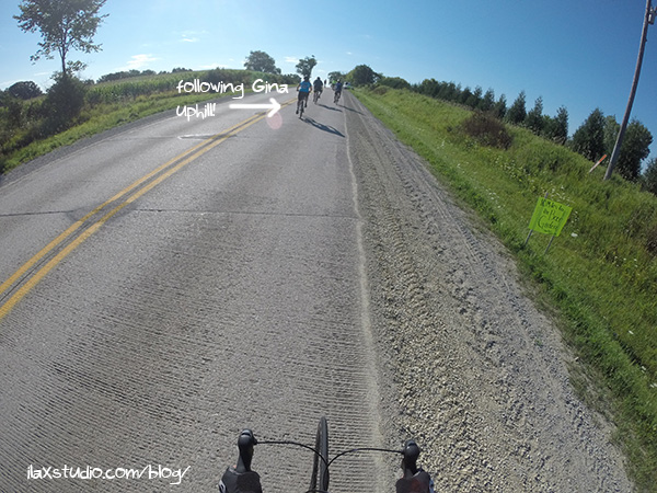
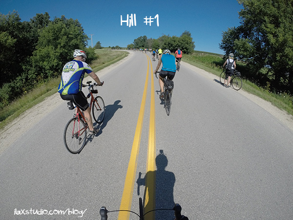
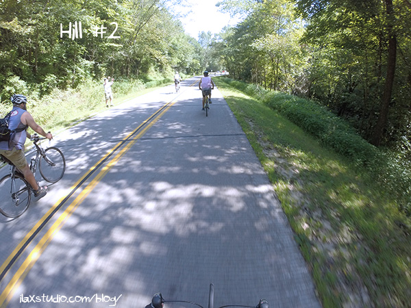
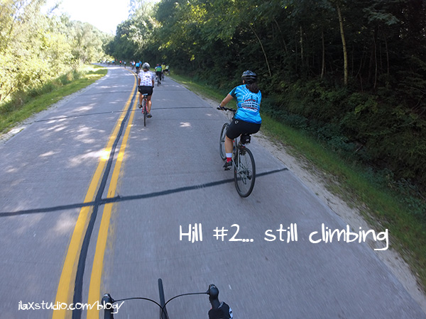
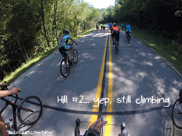
You can tell it’s an uphill because there are so many more cyclists in the photo! People really group together on the uphills and spread out on the downhills.
This is where I figured out the trick for powering up these long hills – ride next to someone playing music. Hill #1 was powered by Kanye West’s “Stronger.”
I got to the top and waited for my group – Andrew went by, then Gina, then Dad. We all stopped to buy water, and Gina told me it was a good thing she was riding next to Dad – her chain came off and he helped her get it back on! She said Dad also helped someone who fell – he picked her bike up so she could get back up. Aww.
Like I mentioned, it was flatter between the major hills, so we were all able to ride near one another (for about eight miles) until we got to the next major hill in Yellow River State Forest.
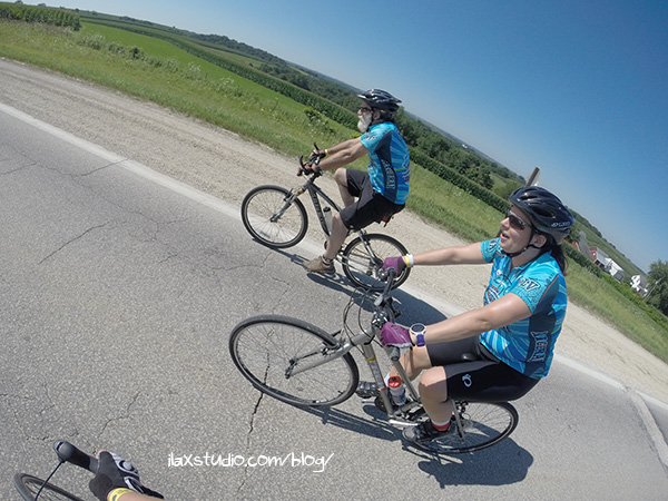
Hi, Gina! Hi, Dad!
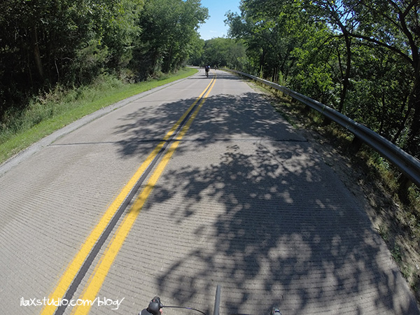
I was really excited to ride through the state park. It sounded beautiful from the descriptions, and shady! We had great weather – low winds and sunny skies (63° when we started, no idea at the end). But I learned from the first hill that going so slow made me super sweaty because I didn’t have any wind resistance. I was hoping the uphill in the state park would be shaded, at least!
This area is called the “driftless” region, and the reason it’s so hilly is because it was never glaciated (hence, drift(left behind by glaciers)-less). There’s a few areas like this in Iowa, Minnesota, Wisconsin, and Illinois. And yes, I didn’t know this until I looked it up after the ride, ha.
The state park did not disappoint! The descent in was amazing, and the views spectacular!
This was the longest climb of the day, time-wise, at fifteen minutes. I stopped once to see how Dad was doing, then got back on my bike and realized I had WAY more climbing to do, up ahead. Oops.
This hill was powered by “The Final Countdown” and the theme song to Rocky.
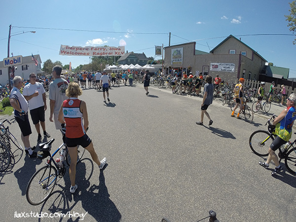
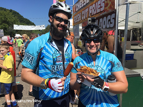
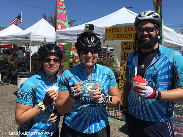
I enjoyed the views but was happy to get out of there and ride downhill in to our next pass-through town, Harpers Ferry. We spent a lot more time in Harpers Ferry than the first town, enjoying food that we bought and being relieved we only had two major climbs left and thirteen miles left (we had already ridden thirty at this point)!
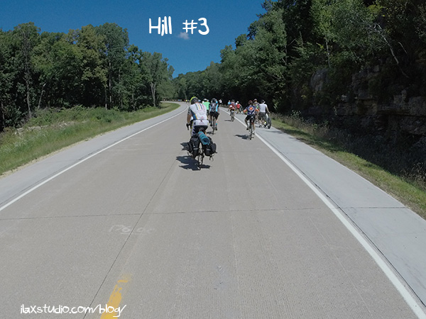
We had a flat stretch for a bit after Harpers Ferry and we all stayed together and chatted. And you know what came next – the third major hill. This one was powered by Johnny Cash’s “Ring of Fire.” I remember getting out of my saddle the most on this one, to move some of the strain in my legs for a bit, and get a power boost.
You can see on the side that there were people walking up the hills
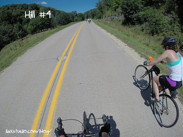
I didn’t mind the hills or feel horrible on them (except the no breeze thing) but I’d be lying if I said I wasn’t relieved we only had one more left after that one! And that last hill came quickly!
I wasn’t around anyone playing music on this one, but chatted with this gal in the photo below, Lindsey, the entire ride up, and that helped me!
I was SO happy to get to the top and see a house there with water and Gatorade! It’s so great that people set up these aid stations outside of the pass-through towns. It’s rare you go more than a few miles without seeing something offered or for sale!
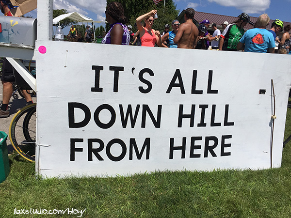
It better be!
I waited at the top of that hill (the last hill!) and Gina and Dad stopped. Andrew kept going. He had already told us if he stopped anymore he wouldn’t be able to get back on his bike. It was definitely getting to be that tired point of the day – midday, full sun, all sweaty from your last hill. I felt physically fine (except for a sore neck from my GoPro on top of my helmet) but was sweaty and ready to ride in to the final town.
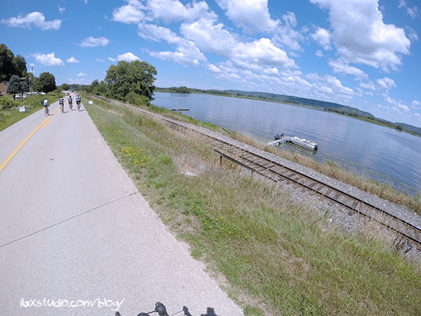
After the last hill it was only a few miles in to Lansing! I got ahead of Dad and Gina on the downhill but we all stuck together to finish together at the end.
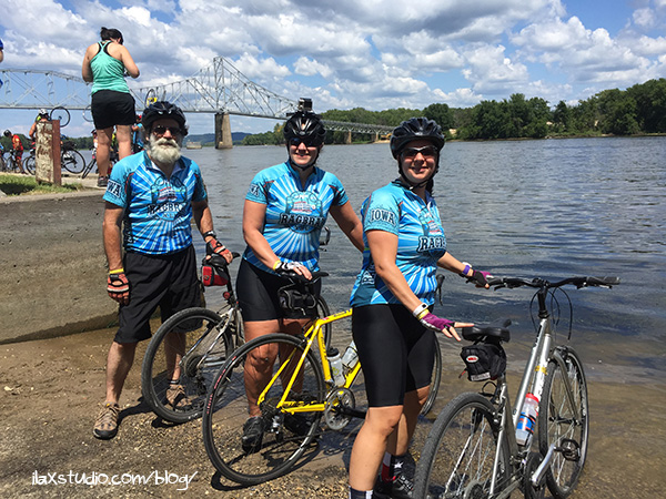
The Mississippi River!
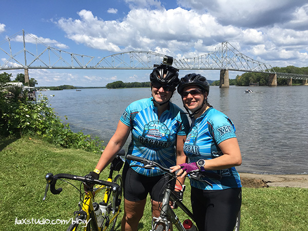
I was sad Andrew wasn’t with us to finish together and dip our front tires in to the Mississippi River together, but he later told us he stopped to wait and waited so long he figured he missed us. I am happy he finished safely and found Steven, Steve, and Luca!
Dad, Gina, and I waited in line to dip our tires and take photos.
I was trying to get in touch with our group the whole time but the cell service was bad/overloaded. Steven finally got a hold of me and we all met up! (Steven and Steve picked up the car we left in Waukon and drove to Lansing to meet us. I greatly appreciate them doing that – that was a long day in the car for them!)
We only hung out for a bit then began the long ride back through Waukon to Guttenberg (we had to go that way to avoid the RAGBRAI route). We decided the riders should stick together since we were stinky, and we had some pretty goofy (dehydration influenced, I am sure) conversations in the car. Muah ha ha.
I loved RAGBRAI, as usual. I liked the challenge of the large hills. Although, now I realize the rolling hills means less time by my group, and part of the reason to ride together is to chat! I wonder what the leg we do of next year’s route will be like…
I always knew what BRAI stood for but had no idea about RAG and always forgot to look it up. So thanks for that.
You’re welcome 🙂 Hope you guys are having a great summer!
What a wonderful recap – I feel like I was right along with you guys! I love that you do this every year.
Thank you! I hope we are able to continue doing a part of it each year!
That’s super interesting about the driftless region! I’ve spent some time in Jo Daviess County (which, according to the Wikipedia article, is where you find that region in IL) and the hills out there have always struck me as quite remarkable, at least compared to the rest of the state. Now I know why!
Are the roads closed to cars during RAGBRAI? With how many cyclists it looks like are on the road in your pictures, I’d imagine they’d have to be, but if so, what a logistical process to close roads across the entire state, even if only for a day at a time!
We used to drive through Jo Daviess County all the time on our trips to Iowa. We actually did a hot air balloon ride over that region and people were super confused as to why we’d want to do it in Illinois. Um… it’s gorgeous there? Ha ha.
The roads are not closed but people know to say off of them unless they absolutely have to get on. There was one stretch this day that seemed to have more cars that normal. It really stinks if you are a car on a RAGBRAI route. You get no where, slowly. The bikes pass you.
Wow – thank you for sharing your experience, both by written word and photos (I *never* take photos on group rides – and then regret it!). It looked like such a fun and scenic route!
You’re welcome! I often wish I could get more photos during rides, but for me, it is NOT safe to be playing with my phone while riding and I tend to only use the GoPro for RAGBRAI! It really was a scenic route – especially in the state forest!